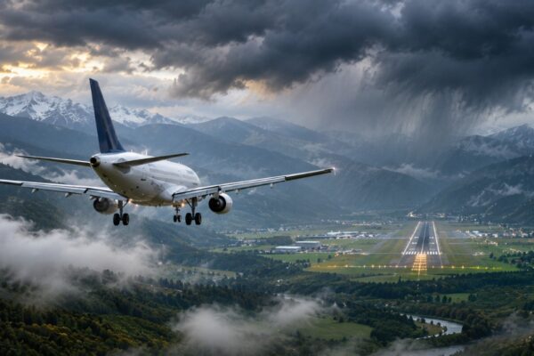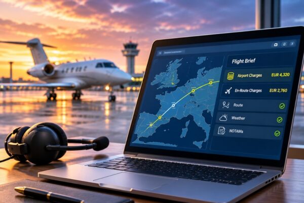


A flight may be planned at an efficient cruising altitude, but what happens when forecast turbulence, icing or changing winds make that level less suitable? Pilots need to understand not only where weather hazards are located, but also how they relate to the aircraft’s planned vertical flight path.
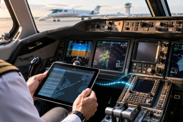
Jeppesen ForeFlight’s FliteDeck Pro 5.3 introduces Enroute Profile View, bringing forecast weather, terrain and flight-plan information into a single vertical cross-section of the planned route.
Detailed by Jeppesen ForeFlight in August 2026, the capability is designed to help flight crews assess conditions along their route without relying exclusively on separate weather charts and flight-plan information.
Weather and Terrain Along the Planned Flight Path
Enroute Profile View presents the aircraft’s planned flight path in a vertical display, showing how its altitude relates to terrain along the route and forecast atmospheric conditions.
Pilots can review supported weather layers, including forecast turbulence, icing potential, winds and temperatures, SIGMETs and volcanic ash advisories. Some turbulence products require additional subscriptions.
Weather information is displayed within a corridor extending 20 nautical miles on each side of the planned route.
The profile can also display planned step climbs and descents, alongside departure and arrival procedure information derived from the loaded flight plan.
Reading Turbulence Against the Planned Level
Take an aircraft planned to cruise at FL350, with turbulence forecast along part of the route. A conventional chart may identify the affected region, but the crew must still work out how it relates to the planned altitude.
The profile lets them see whether the forecast sits at, above or below FL350 on that segment.
That does not settle the decision. Smoother conditions may be forecast at FL370, but aircraft performance, fuel, traffic or ATC constraints may rule out that level.
What the display can do is bring a clearer picture into that discussion earlier.
What the Display Leaves Out
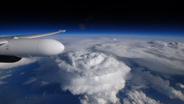
Weather radar and echo tops do not appear in Enroute Profile View, so crews still need other sources to assess convective weather.
Terrain also follows the route line rather than the wider weather corridor. A crew considering a deviation around forecast weather cannot assume the profile shows the terrain along that new track.
Access requires an Enroute Intelligence subscription. Jeppesen’s configuration documentation also lists the Display Enroute Profile setting as off by default, meaning operators may need to enable it before crews can use the feature.